


If you’re looking for a Plat map, Monsoon can help in some cases. Monsoon relies heavily on data from the county, so the maps you can access through Monsoon depends on what the county makes available.
Monsoon links you directly to the county assessors website via the APN link on each property. This is important because this is how you can find many of the maps below.
![]()
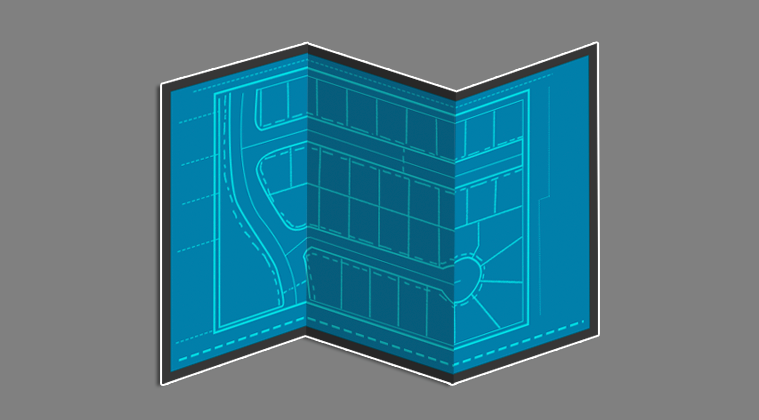
Plat Maps
Cochise – Plat maps are available from a direct link in Monsoon.
![]()
Maricopa – Their website provides a direct link to the county recorders site to Plat maps.
![]()
Mohave – Click the APN and you will be taken to that property on the county Assessors site. At the bottom you can access the Plat map in a PDF link.
Pima – Click the APN to access the assessors site and do a search for the parcel. Under the image tab you will find the Plat map.
Parcel Maps
Apache – Click the APN number to access the assessors site and do a search for the parcel. The site provides a parcel map with different layer options.
Coconino – Click the APN number to access the assessors site and do a search for the parcel. The site provides a parcel map with different layer options.
Gila – Click the APN and you will be taken to that property on the county Assessors site. The site provides a parcel map with different layer options.
Graham – Click the APN to access the assessors site and do a search for the parcel. The site provides a parcel map with different layer options.
Greenlee – Click the APN to access the assessors site and do a search for the parcel. The site provides a parcel map with different layer options.
Pinal – Click the APN and you will be taken to that property on the county Assessors site. The site provides a parcel map with different layer options.
Yavapai – Click the APN and you will be taken to that property on the county Assessors site. The site provides a parcel map with different layer options.
Yuma – Click the APN and you will be taken to that property on the county Assessors site. The site provides a parcel map with different layer options.
No maps provided
La Paz
Santa Cruz
Navajo

